Showing posts with label feature friday. Show all posts

Sunday, November 8, 2009

Friday Feature (on Sunday!),social justice in infrastructure?

This Infrastructure post not on Friday, I seriously should just make it whenever the freak I get to it post, will be a little different.

I am not going to showcase any cool trams or bike paths or parks anything. Today I want to focus on a topic that was brought up from Bikeportland.org and then again in the book I am reading for Native American History.

The book is called “Native Seattle: Histories From the Crossing Over Place.” And it’s by Coll Thrush(link is for Amazon, but support your local bookseller first, they should be able to get it in). Now I understand that from the first impression it does not seem that this has anything to do with transportation but in fact it has a huge part to do with it.

First let me talk about the bikeportland piece. It was called “is out bike scene too white” and talked a little bit about why Portland may have an easier ability to create alternative transportation on a large scale. This is also similar to Davis, California in the sense that it is overwhelming white. My history teacher lived just outside Davis, and while there are a good number of Hispanic communities now around the town, this didn’t use to be the case. I wonder if the bicycle mode share in Davis went down because of specific polices, or lack thereof, of the city, or it went down because minorities moved into the area and for some reason they don’t tend to bike in as large a percentage as whites.

Now I am not being racist here at all, I don’t think we should “cleanse” the cities and make them 100% white so we can get bicycle infrastructure in place. What I want to know is why this is? Anybody can go into a bike shop and get a bike right? (Well not exactly) However anybody can use the facilities that are specifically for bicyclists, or can they? So why is it that we don’t see more African Americans, or Hispanics, or native peoples on a bike? I don’t have an answer today especially since I live in 98% white New Hampshire and 90%+ white upstate New York, but this is a major problem as we move forward with non-automotive transportation.

This topic would make a very good thesis piece and I would love to do research on this and put something together, but truth is I have so little time as it is that I cant do this proper research justice, however I am going to keep thinking on this as I move into the field and maybe the opportunity will arise that will give me the opportunity to do this properly. From here is sheer observational data and making connections with a number of articles I have read over the last year, it is in no way heavily researched and quite possibly is very biased, please do not take this as fact, just something to think on and question in your own community.

For starters this is being looked at, at least in Portland, by the Community Cycling Center, they were the initial inspiration for the article. You can read the article for yourself but basically they were looking at the area they served and then who was actually riding and it was just white middle class citizens on two wheels. They saw a problem, and started asking questions. Now with some grant money focusing around social justice, they are undertaking work in this area. They discovered some issues regarding actually knowledge of what to do both on the road and what to look for in a bike, as well as some fear of police retribution. There is also cost, both perceived and actual. You can read more here.

I want to go further and actual look at some of the comments that this article generated. First what about cost? If you get a 2k used junker and drive it into the ground and then do that again in a couple years you see that cost at the time but typically the long term costs of that care are not taken into thought. This is not a minority issue; this is a human issue in putting less emphasis on long-term costs and more on short-term expenses. If you are new to cycling and outfitting a bike for cycling it will cost you 2k+ easy, depending on what you are looking for. A person looking at doing this will see, ok some fun maybe, maybe some environmental benefit (most likely not) maybe health benefit. However, they will see that they are paying the same price for something that takes double the triple the time to get somewhere, that you get really hot or really cold on, that riding means you are poor, that you will get run off the road by people in cars, and that you cant carry your family. With that in mind why would a lower class family (of any ethnicity) really want to ride a bike for transportation?

It is true that taking all the actual heath and environmental benefits into the equation, as well as the joy aspect and the actual cost of the automobile, that the bike wins hands down. These are long term costs however, many people don’t attribute that hospital visit to the non active lifestyle that they live, they don’t attribute the heart attack to the years of driving the 10 miles to work or the 2 miles to the store when they need milk.

A lower class citizen will most likely be working multiple service jobs (if they are lucky) and it’s not just them, it’s their partner and their children when they turn 16. When you work 16+ hours a day in multiple jobs across the city there is no way a bike would enable you to get to both jobs and work both jobs. The time and energy required is not there, at the end of the day you are dead tired, and the next day it’s the same thing. I did this for 6 months; I worked two jobs and took a chemistry class during my one semester break from college. I needed to be at work at 6am for store opening (I was maintenance) I got done at noon and then went home for lunch and then class at 1. Class got done at 2 and then I went to my second job, which started at, 3 or so. I was driving ~50 miles a day when I was working both jobs. While my first job and class were ~5 miles apart which is perfectly bikable every day (my current commute is 5.2miles daily) that means it would take me 30-45 minutes to my first job and then home, and then 35 minutes to class and another 40 (its uphill coming back) back home. Its then 15 miles to my second job. If I biked the easy bit that’s ~2 extra hours, plus a workout. It means biking in the very early morning and then afternoon; I always got home around 9-10 at night. There was simply no extra time to bike to these places, and not only that, there was no extra energy to do such, if it was a desk job, maybe, but I was set building and being a janitor.

Using my experience I look at people who work hard to provide for their families and realize, they simply do not have the time or energy to live without a car. If there were good quality bus service that is doable and you will find that many workers will take the bus because a year pass is usually quite cheap.

So maybe economic and social class is more important then ethnicity? (A higher percentage of Blacks, Hispanics and minorities tend to poorer)

Next lets look at language. If your first language is Spanish or Chinese (obviously skipping Black Americans since majority have English as their first language) and the only information on cycling in your city is in English you may be less likely to understand than if it were in English. People do not typically explore where they live too much, they have a rout to work, a rout to the store, and a route to school. There may be a separated bike lane one block away but many Americans would not know it unless it were signed and publicized. Now imagine you are Hispanic, would you know about that rout? Would you understand everything on the sign or the map? I would not imagine most immigrants have money and time for lengthy English classes every day, looking at my 6 months, I don’t know what would have happened if I were trying to learn English too. So not knowing about routs may play a part in this.

How about rules of the road? Yes, yes I know many cyclists don’t follow rules involving stopping and signaling (neither do cars) but some do and it is important. If you were an immigrant who may be targeted by the police anyway, would you want to be on a bike riding on the road scared that the police will ticket you because you didn’t follow some law? How would you know the laws if they were not explained to you in your language? Many of us take for granted that laws are for the most part obvious (red means stop) but how many of us knew that from our parents or from drivers ed. If you were first generation and wanted to bike somewhere would you know the laws requiring lights at night or certain other things (like you must use a bike lane if there is one)? I don’t think you would and that’s not your fault.

Maybe you want a bike, you go to the bike shop and are met by wonderful people who know bikes but maybe don’t know Chinese or Korean or Somali. Bike shops can be scary places I think if you don’t know what’s going on, dark, cramped, people asking questions etc. There has been some issues with women in bike shops and intimidation and I can understand this as well, since a lot are men owned and don’t have women present. It may seem petty or insignificant but it’s very important. A minority is going to have a worse time, and make that minority a woman and you have created an impossible situation.

It seems language may play a huge part here, both in finding safe cycling routes (if they exist) and in knowing the laws. Bike shop access also is important in terms of the language barrier; you may not know frame type in your own language let alone English.

Maybe you can see why this would make a great thesis piece. I only looked at a couple things here and they clearly both have impacts on cycling. I wish I had more time now to look at transportation planning and where bike racks and bike boulevards are placed and the social justice issues that come up with that but I don’t. And even what I have looked at here may be debatable depending on where you are. Should we go for the low hanging fruit and try to focus on getting the whites on their bike and leave the minorities for later when we have 30% mode share for whites? That’s not fair but what are the options? I think the first step in any of this is what the CCC is doing, reaching out and talking to community leaders. It’s the first step and until we do that everything I have talked about and more is pure speculation. I hope I have made sense here and if something is not clear please let me know, this is the first bit in a number of long posts on thoughts as I go forward. I don’t have answers I wish I did, but all I can do is bring up the issue and start the conversation. I wanted to specifically talk about infrastructure but that will have to wait for another post, I will bring up the book when I talk about that, as this post has actually made my tired :P

Thanks for reading
For further information please see the following links

BikePortland.org piece

Streetsblog, "mobility as a basic human right"
New Geography post

Sunday, September 20, 2009

Friday Infrastructure (on Sunday!!): The Tram Life


Larger size
First of all, I would like to apologize for not updating this for a week. This was a very busy and hectic week and Jim was going to post some food things up but unfortunately stuff came up for him as well and he was unable. None the less, I would like to rectify this situation and work harder to update with new and interesting things. If you have something you would like me to look at or think about please feel free to send me links to my email or post in any of the comments. I read a whole lot of things ever week but it takes a lot of time and as class work mounts, the time I can dedicate to keeping up with it, unfortunately is sacrificed. Without further ado, I present you the usual friday infrastructure post, but new and improved on a sunday (yeah it will happen again, but I will try to not let it)

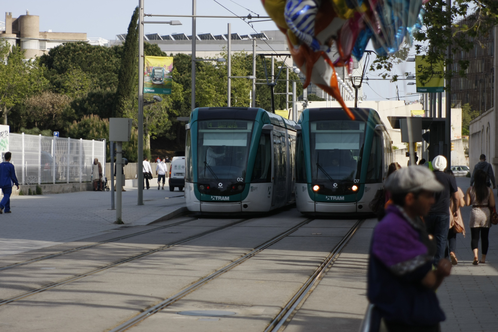
Today we are across the channel and down the coast to Barcelona! Quite a wonderful city, very bikable with a nice bike share, but only for city residents last I checked. They also have a very nice metro/tram transport system that is laid out nicely and with easy to read signage. Of note, I do not read Spanish nor do I speak any of it, however I was able to find my way around quite nicely. That may have been due to the amazingly useful google maps and google street view but none the less. There was a great organic vegan restaurant hidden on a back street I found which was simply amazing, I will do a post on them later this week, once I find them again.

The tram lines in Barcelona are separate from the underground metro lines, they do however connect in and form a nicely integrated system. Tram lines can be found on the western edge of the city and these are lines T1, T2, and T3 (yes the “T” is for Tram) in the Eastern side the lines are T4, T5, T6. to get from either end of the lines, a subway must be taken and unfortunately 2 transfers must be made, but the system was not designed to work tram-tram it was designed to fit into the subway system and to integrate that system better into the urban environment.

The line that I followed and took pictures of is the T4 line which starts (or ends? or both!) at the Olympic Village near the waterfront. Pictured below is the google street view of this.

Larger size

Note it is a duel line system running both ways next to each other. The end is concrete, however it changes to grass fill very quickly as you move north along the edge of the “Parc de la Ciutadella” which houses a zoo, museums, a 1700’s citadel (for which the park is named), as well as water displays, walking and biking paths and planned gardens. Its very nice, lots of people were out the day I was there.
Although not in this picture...
Larger size


In this picture note the markings on the road showing the space the tram takes up when it is moving through the intersection. There is a great deal of space given to make sure that a car or lorrie is not ending up stuck on the rails.

Larger size

I would like to point out the bike share scheme in Barcelona, Bicing , the system is for residents only and consists of 3000 bicycles throughout the region. It has been in place for 3 years now and has been quite successful. Of note these are the same bikes (practically) that are used for the “SmartBike DC” bike share scheme.

larger size
Bicing website, in spainish


larger size
There are 4 elements I would like to mention regarding this image. One, note the bike lane on the right hand side in the sidewalk. The lane is stripped and is “one way” in the direction of car travel. While this is not ideal, the sidewalk space is large enough to accommodate this lane and mixing does not seem to be too much of a problem. Two, note there is no car parking along this boulevard, but there are trees and it is common to see mopeds and bicycles chained up to these as impromptu parking. It would have been simple to put in staple racks between them, like Vienna did, however it works, I guess… Three, note the ground painting on the lower left, the arrow points in the direction to look first for oncoming trams, very useful especially as it is in the opposite direction of the cars. Four, note the space between the road and the rails. This is good to have for people who cross the road and have to wait for the tram. I am unsure if the road and tram walking lights are timed and triggered together, it would be smart if they were but I have no idea. This space also provides access to the tram stations in the center of the road, these are on slightly raised platforms as the trams are the traditional modern European low floor design, and as such the debarking height is not much more then the normal sidewalk. It would be nice to se a bollard of some kind on the corner of the cross walk next to the tram tracks for a bit of protection from automobiles , but it is not really critical.

To get back to the main image, it is taken at the Olympic park stop end, I can tell this due to its timestamp when I took it, however I have no idea where exactly or where I am looking to see solar panels on the roof, as can be seen in the upper center. I really enjoyed Barcelona and wished I had spent more time there and not gone on, I only spent one full day, and it was certainly not enough.
Google Maps
Transports metropolitans de Barcelona network map (in pdf)

Saturday, September 12, 2009

Friday Infrastructure: A jaunt to York


Larger size

Yep late again, fell asleep last night and meant to write this then, whoops!

Today we are showcasing something a little bit different. As you might have figured out I really like focusing on cycling and walking and using them as a viable means of transportation. However, these 2 cannot solve all our problems, in fact for many places a car is still needed in some form and distribution is needed to be done by trucks in some cases as well. That is where electric drive comes in, however for long distances there is another piece to this puzzle, which are the Railroads.

I am a huge train nut, not an avid train spotter, but I would be if I had the time. So one of the wonderful things about the city of York, UK is, yes it’s a cycling “capital” (I use that term loosely because really its still not really great for infrastructure, just better then non existent.) It is also the home of the largest train museum in the world and a vital link between London and Edinburgh being ~2 hours and 200 miles from each.

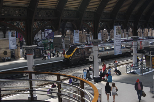
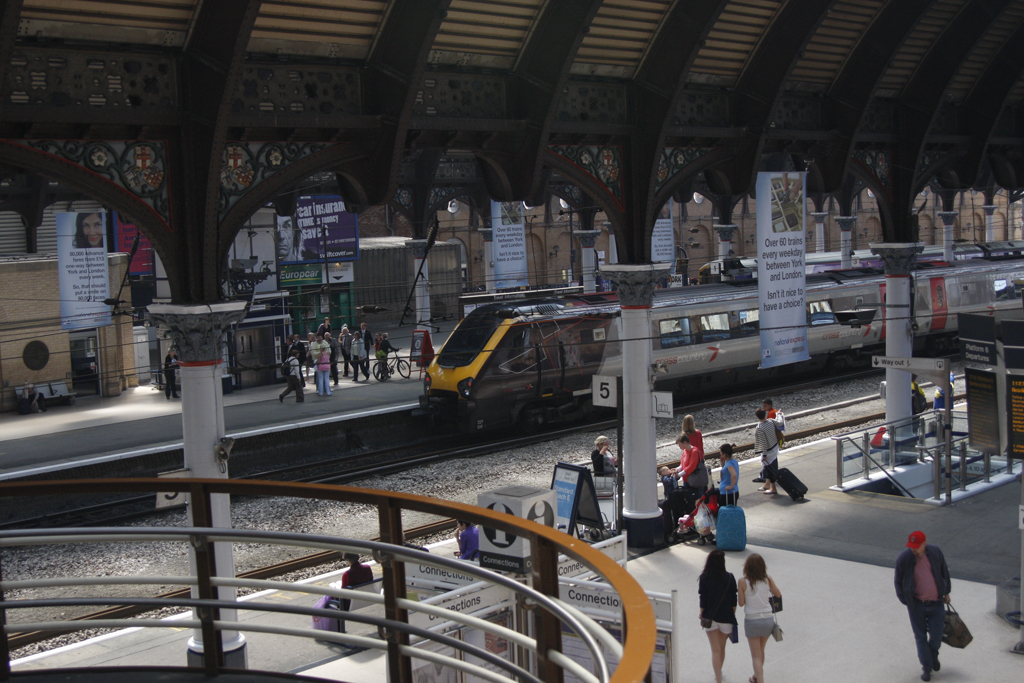
The picture for today is indeed a picture of York rail station, built in 1877 it is quite distinct and holding up well, but could use a bit of updating. They do have some bike storage and it was full when I saw it, but its very small and nothing to shake a stick at.

One might notice the sign hanging in the picture, it notes over 60 trains a day to London from this station and going online to the East Coast line website the time for some of these trains varies from just under 2 hours to about 2 hours and 10. It is ~190 miles from York station to London Kings Cross station.

For reference the distance is about the same from Boston South station to NYC grand central. There are 10 trains a day here with the regional taking 4 and a half hours and the Acela taking 3 and a half. Which is quite sad if you think about it, the Acela has a higher top speed than any of the British trains but the rails here are so bad and there are too many stops along the way that it never reaches any good speed, not the mention they had to skimp on the breaks to save money so it can’t even go its top designed speed.

It is hard to give fair information because in the uk prices are hugely dependent on how far ahead you can book. For my time in the uk I was able to book about a month+ in advance and were getting £15 fares for a whole lot of travels, I also had a 30% off discount card. The trip to London from York can cost anywhere from £11(17$) to £96(153$) with the lower fares on odd hour trains. To compare the Acela will cost lowest 93$(£58) to 124$(£83) one way and business class only. There is seriously something wrong here….
If they were truly serious about the Acela then 1 maybe 2 stops, in the uk there are 4 stops on most trains between London and York, if you needed more you take a slower regional which makes sense. There are currently 6 stops between Boston and New York for the Acela.

There is not much I can say about the station, it does its job and its great to be able to take the rails pretty much anywhere anytime in the UK. I wish I had that option here. There will be more later on how the UK system works and what I don't like about it and how it is currently run.

Google Maps
Sustrans map

Amtrak
National Express East Coast
York Station
City of York

Friday, September 4, 2009

Friday Infrastructure: A canal runs next to it

Larger size

Welcome back to Feature Friday! If you have been paying attention you will notice a few format changes I made, resizing of the main image and the borders of the blog to better hold data and images, and hopefully make it a bit easier to read.

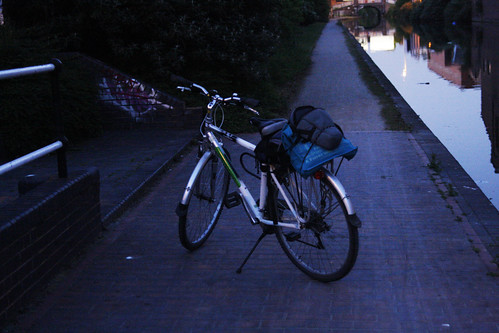
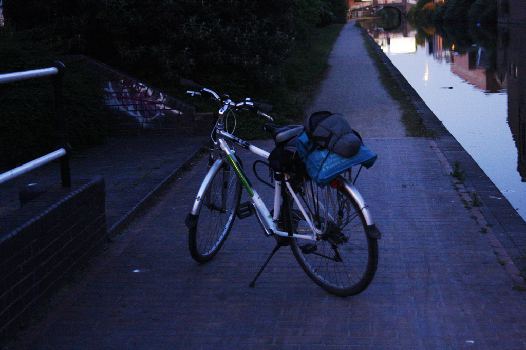
Today we are in Birmingham, England. As a minor note the main header image was taken here on the same night, albeit a bit later. This image was taken near the end of May at about 9:40 at night. One of the most interesting things, is yes its almost 10pm and yes its still plenty light out! Interesting fact, Birmingham actually has more canals then Venice! This was told to me by one of my friends who lives and works in Birmingham, so he may have been a bit bias, but I can certain believe it. British Waterways has done a really good job restoring and labeling the canal system in Birmingham.

I do not remember specifically where this image was taken, however about 10 minutes later I came across this map, so you can do the math and figure out where I was :P
Larger size

It was again the end of the day, and I had an 11:50(ish) train back to Leeds (which turned into a 5am train but another story) so I was tooling around the canals, and circled back around, I don't know how far I went, but it was really nice, if a bit tricky due to the darkness, thankfully I had lights otherwise I would not have done it. Its a really nice rout and with caution can be done well during the day, the path next to the canal is well kept, even if Sustrans does not show it as an official off-road path on their map.

You will note that this is another trek on my Velocampus bike, it served me well that day and even made it truly off-road in a large nature park, which I will cover sometime later.

Approximate Google maps location
Sustrans, Birmingham overview map
British Waterways, West Midlands

Friday, August 28, 2009

Friday Infrastructure: Where The Sidewalk Ends, and beyond


We’re back! Ha!

If you follow me a little bit, you will know that I recently moved back to university and chose an apartment 5.2 miles from campus in order to force myself for a proper bike commute. It’s the end of workweek one, and 56+ miles traveled, results? I need a new seat, and raised handlebars. No way in hell am I wearing lycra every day to school either. I will just take a new bike then eh :D. Seriously though, it has been good, bit of rain a couple of the days but today was wonderful, 68F or so perfect weather. Got a bit of sunburn as well actually, need to remember that for when the snow is here, glare can kill ya.

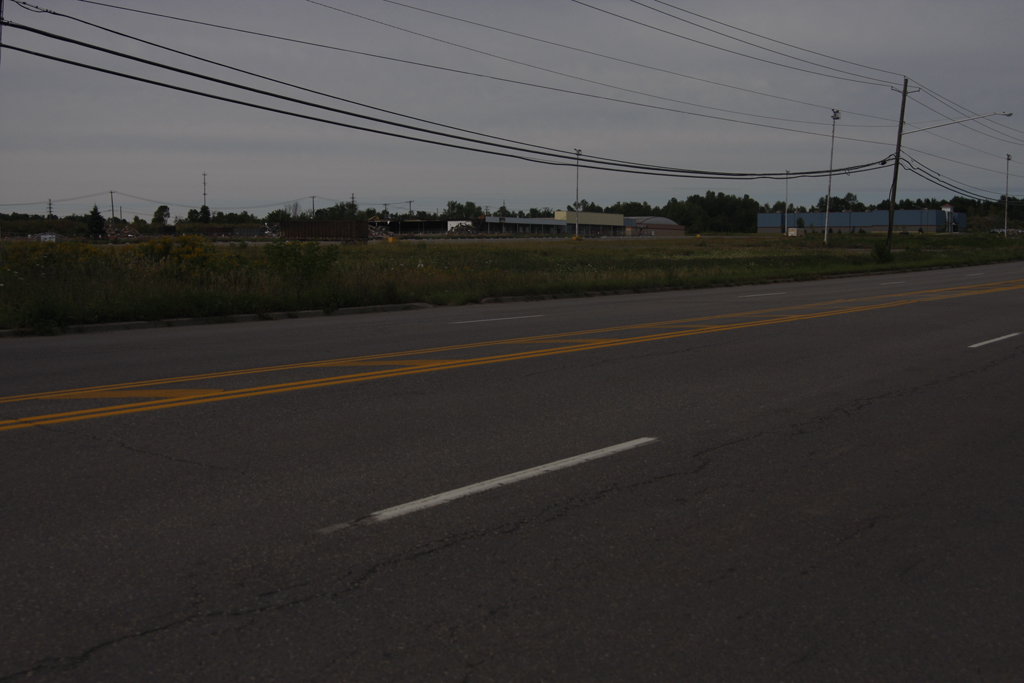
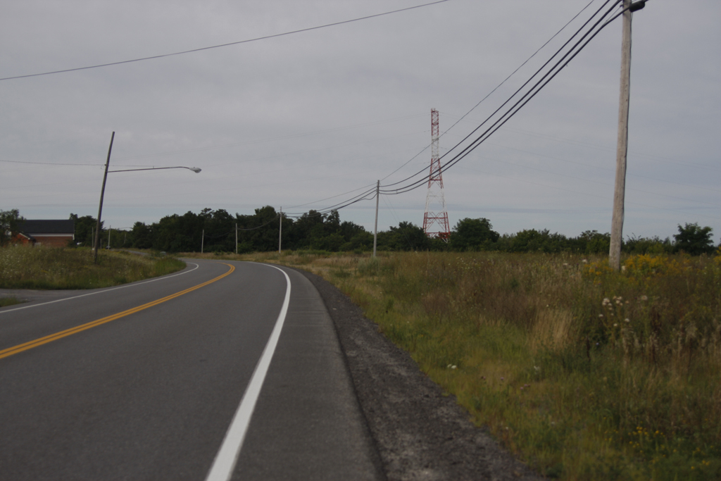
For today’s infrastructure picture(s) I am going to show you my route, that I am biking ever day. Why did I title it the way I did? Well the sidewalk ends at the social security administration building about a mile and a half from where I live, and technically I don’t even live in Plattsburgh, I live in Beekmantown, but I won’t tell if you don’t. yes it’s a bit of a play on the ol Shel Silverstein book, and I can still see that funny cover, but there is life beyond the sidewalk in suburban America, unfortunately there is a whole lot.

I start off at the university, obviously, I didn’t take any pictures today of the first 2 miles of my journey home, so you start when I am about 3 miles from home, a bit after the Georgia Pacific plant on route 9, if you know the area.

That car passed a bit too close for comfort!
Full size


That's what we call infrastructure in the Adirondacks! you betcha!
Full size


The mall that never was, under demolition, click full size to see it, I will be chronicling this mall more in a few weeks.
Full size


The open road
Full size


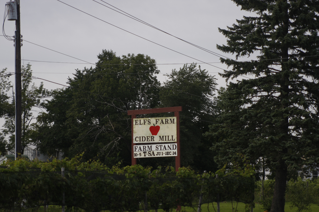
The local friendly farm stand, fresh pressed cider in a couple weeks!!!
Full size


Home!
Full size

Google Maps rout, obviously only part of the commute, but its the part you see

Sunday, August 2, 2009

Friday Feature (on Sunday!),A Line Anew


Larger version

Welcome to the weekly Friday feature. Today, I am 2 days late, but still not a dollar short. Anyway been very busy, kids were going into town yesterday so prep for that was a bit crazy.

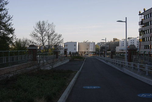
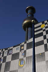
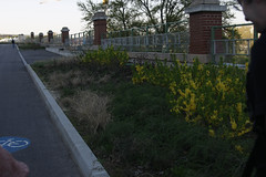
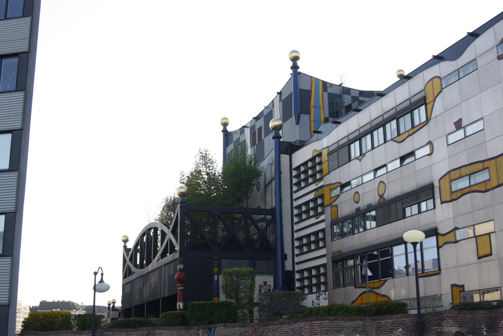
So with this image we cross the channel into mainland Europe and the wonderful Austrian city of Vienna. The very nice folks over at Cycling Is Good for You are the ones that tend to focus on things like this, and I am sure they have mentioned this specific path somewhere as it is relatively new and well done I think. This line is rather short but very nice and the addition of green spaces makes it quite peaceful. It runs around the well known waste incinerator designed by Austrian architect Friedensreich Hundertwasser in 1992. before that it was one of the first waste to energy plants in the world having been built in the 1980's. According to my friends who I visited with, he initially did not want to do it fearing a corruption of his ideals and ideas. However he eventually agreed with the thought that he could make it better and make it beautiful, and that he certainly did, he made it into a modern landmark in a city steeped in history.

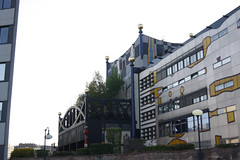
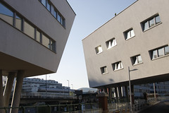
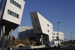
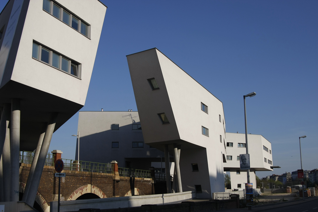
The path itself is a paved cycle priority mixed use path. I remember seeing multiple walkers as well as a Rollerblade and cyclist or two while I was there. it is a well labelled and mostly thought out connection to the tram, bus, metro, and rail transport station at Spittelau Bahnhst. The reason I say mostly is because it runs through the middle of a housing and mixed unit development that flows under over and through the walkway, but it does not directly have access to it. However, one has to go down to the ground level and then walk to the end and then walk back up the path to the elevated station, that part of it was not thought out but that's more the fault of the housing developer then the cycle path. I say flows because of the unique design of the building, the architect escapes me at the moment but it has had some issues selling due to its location to the heating plant, it is certainly an area ready to be developed. I believe the housing was designed as low cost for the next-door university for apartments and the like, but I am not sure.

The heating plant is the Spittelau District Heating Plant and has a small museum detailing its history and what it does, apparently guided tours are also available but we visited on a Sunday so everything was closed.

The trail itself is a former underground to elevated rail line that was put into disuse sometime in the past 20 years I believe.

Google maps
Technical information
Wien Energy

Tower and the side of the facility
Larger version

Facing away from the tower and toward the housing development
Larger version

A view toward the rail station
Larger version


Larger version
Two views of the mixed use development built around the path
Larger version

if you have more information please let me know so I can add it in.

Saturday, July 18, 2009

Friday Feature, Cycling in the Park


My, this week has gone quickly, the session 1 kids have left and we get session 2 kids on Sunday, for another 3 weeks of art and farm and fun. Should be good! For today’s image though we are in London, and Hyde Park specifically. When I visited London in late march I had my velocampus bike with me, so of course I used it and didn’t take the tube. I was estimating I was riding 25-30 miles a day for 3 days around London. It was an amazing experience and for the most part quite pleasant, I got kind of lost twice and once at night had to use the London Eye to get me back on track (that’s another story). I think the worst bit of cycling is around Westminster, I wouldn’t even drive in that area, its really bad but I did it I think 6+ times while I was there and no injuries or even yells out the window, so guess I did something right. However I must say doing it at night when its wet was I think the scariest moment of my life, even with plenty of lights and a nice reflective vest. The normal drivers are fine; it’s the cabbies and the lorry drivers you need to watch out for. Anyway back to the image, I got in late actually for the first night (came from Portsmouth), and I was staying with a friend, I cycled this path at around 9pm, it was quite dark, yes I cycled through Hyde Park in the dark, and the world didn’t end. Nevertheless I revisited this as a nice off-road shortcut (not really a shortcut, it just looks nicer) from central London to Notting Hill, yes, that Notting hill, where my friend lives. While this is not an amazing path it is a nice raised cycle path, physically separated from both cars and pedestrians. The picture shows one of the crossings along this rout as well. It is also very much used, I passed by here 3 times I believe and I always saw usually 10+ other cyclists in the 3 minutes I was on the path, the road is a little heavily travelled, but the speeds are slow and the separation gives that safety. The road splits the edge of Hyde Park, bordering Kensington Gardens on the west and is called West Carriage Drive. Or The Ring (according to the google)


Google Map
Sustrans Map
Larger Picture

Friday, July 3, 2009

Friday Feature, infrastructure pictures!


So it’s a known fact I am a bit of a dork, I was in York recently and was more interested with the cycle infrastructure then with the old town, the walls, or all the amazing historical stuff in the city. It was the same in Vienna when I was there in early April; I was more interested in the Tram lines, then the amazing elements of old Vienna. Anyway going to start a Friday feature on cycling/sustainable infrastructure pictures. I will take from my collection as much as possible, and that should last me a good long time, as mentioned above I have a great deal of pictures of European transport systems. Sometimes it could be lack of infrastructure as the focus but I will try to pick images that focus on what is being done well, even if it was a token effort by the council.

So without further ado, today's image is from Glasgow, Scotland, which I visited in March of this year. The image is taken along the main waterway through the centre of town looking northwest. The Sustrans rout is Cycle Network rout 75 and the picture is taken at the Clyde Street access point. Enjoy


Sustrans Map location
Google Maps location